LAND AND URBAN PLANNING

Set the limit of real estate.

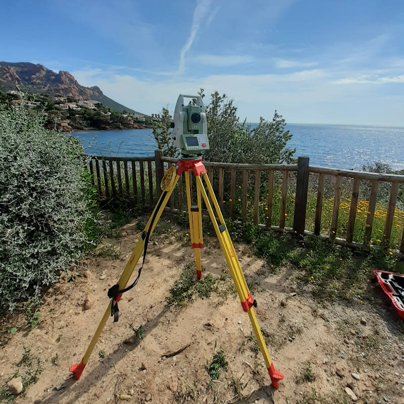
Since the law adopted on the 07th May 1946 that founds the Order of Land Surveyors in France, the State has given the Land Surveyor a public service delegation to define land boundaries.

The Land Surveyor is the only professional in France who has the ability to carry out land boundaries surveys.

The corporation of Land Surveyors in France is governed by the Order of Land Surveyors which ensures the quality of the work performed by its members.

Boundary Surveys and land boundaries recognition

Boundary Surveys allow the owner to guarantee the boundaries of his property and to know its exact surface.

The following constitute the practice of the profession of a Land Surveyor when conducting a boundary survey:

    • Localize parcels and query Geofoncier website,
    • Conduct an initial land survey and measurements for boundary purposes,
    • Request for archives and research,
    • Issue letters of convocation to Neighbors,
    • Deeds analysis,
    • Apparent boundaries analysis,
    • Discussions with the neighbors,
    • Restablish existing boundaries,
    • Making of boundaries if agreement,
    • Plans making with calculation of the area,
    • Reporting.

IGEO Conseils helps you along this procedure which can sometimes turn complex, until all final documents are issued and ready to collect.

Do you need an expert surveyor for your project ?

Division of land

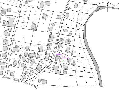
Subdividing land is a complex procedure.

It assumes to carefully read through the Local Urban Planning Report which applies to the Municipality where the property is located but also to investigate existing servitudes, servitudes which will still apply after dividing the land and new ones that will need to be defined.

Some land subdivisions require an authorization by the Municipality and can sometimes require a preliminary mandatory boundary survey of the land.

Every land subdivision leads to updating the existing Cadaster. This means for the professionnal to issue a specific document which is called DMPC.

IGEO Conseils supports you in establishing all required documents in order to make your land subdivision a success.

Easements

IGEO Conseils guides you for a secured establishment of conventional easements.

IGEO Conseils guides you for a secured establishment of conventional easements.

Our firm makes the plans for easements but also carries out private investigations to derive their nature and origin.

Do you need an expert surveyor for your project ?

Division by volumes

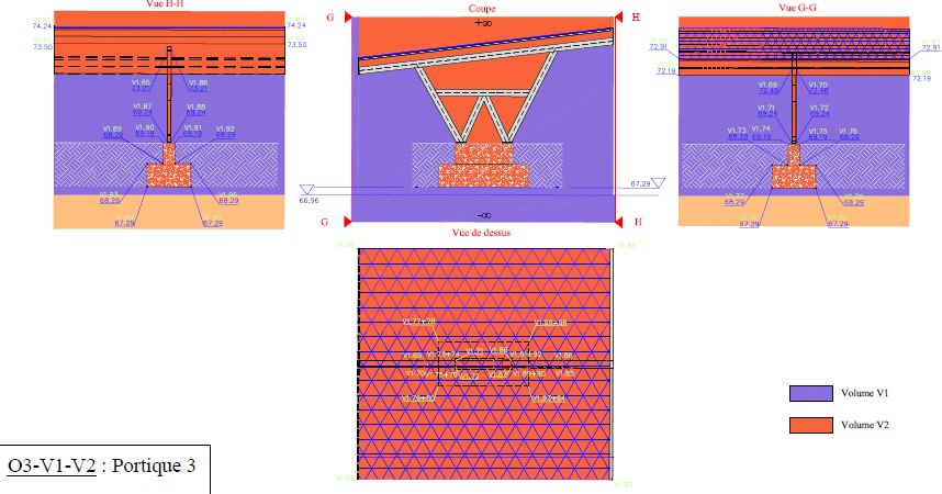
Volume subdivision is a specific land subdivision which does not uphold the criterias announced by the law of the 10th of July 1965 which rules Condominium in France.

Division by volume represents a departure from the traditional idea of the property as a whole, and distinguishes between the ground, the space, and the subsoil – a volume in three dimensions.

IGEO Conseils supports you in the use of division by volume, amongst which : 

  • Solar pannels and shades installation,
  • Subsoil transaction,
  • Complex condominiums with imbrication of various assignements.

Do you need an expert surveyor for your project ?

Public domain boundary survey

Article L-3111-1 of the General Code of Public Property states :

The property of public persons in the public domain is inalienable and imprescriptible

In 2018, the Order of Land Surveyors has prepared a single report in order to homogenize the practice of public domain boundary survey, ensuring the adversarial principle all along the operation and allowing to define a firm and unambiguous boundary.

Following the operation, an order is issued by the public authority.

IGEO Conseil supports the Public Body and the neighbouring residents in order to guarantee the protection of the public work as well as the residents rights.

Administrative acts

IGEO Conseils supports public bodies in the writing of their administrative acts such as:

  • Deeds of sale,
  • Easements establishment,
  • Boundary orders.


The IGEO firm draws up the administrative acts and ensures the formalism required by the Land Publicity Service for the publication of the acts.

Geographical Information Systems

IGEO Conseils is able to provide deliverables to be read in any GIS system such as ArcGis or Qgis.

qgis-logo
arcgis_logo