Bathymetry is the science which studies the seabottom.
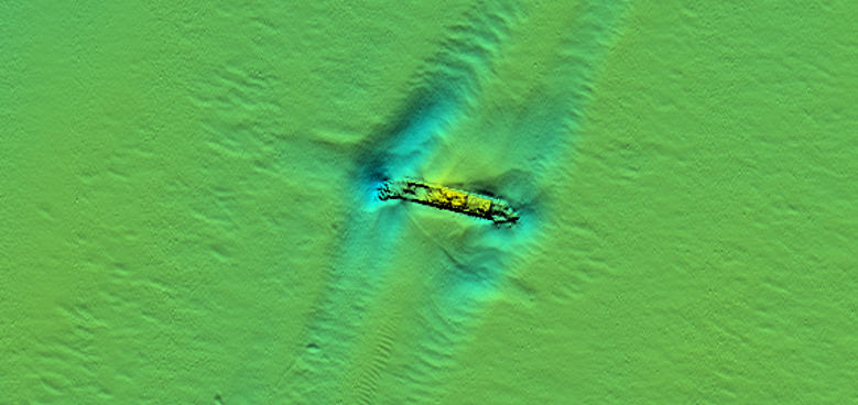
Bathymetric surveys can be carried out in oceans, seas, lakes and rivers. The final product is a map which highlights the seabed features.

BATHYMETRY
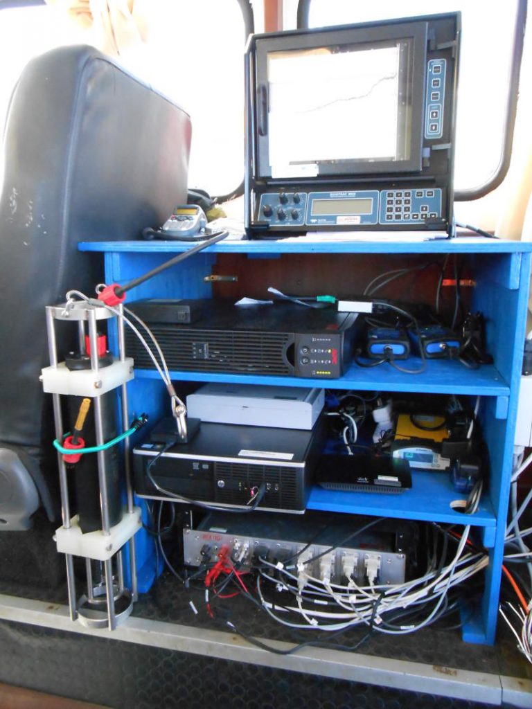
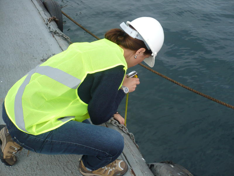
Studies the seabottomBathymetric surveys are conducted to measure the dredged volumes when deepening a harbour but also to identify the obstacles and the natural seabed slope when installing telecom cables at sea. There are also many other applications of bathymetry in the offshore and nearshore projects.
In France, there are two categories of Hydrographers (persons responsible for conducting bathymetric surveys) : Cat A and Cat B.
- Cat-A Hydrographers are deemed to manage teams.
- Cat-B designates technician-hydrographers.
ENSTA Bretagne (formerly ENSIETA) where Isabelle Santarelli has conducted her studies is the only school in France which delivers a Cat-A certification.

Do you need an expert surveyor for your project ?

IGEO Conseils can provide support for Survey companies to follow up their offshore/onshore projects or to mobilize equipment onboard a survey vessel.
We have about 15 years of experience in bathymetric survey, dredging, offshore, acting as client representative for the of the industry.


